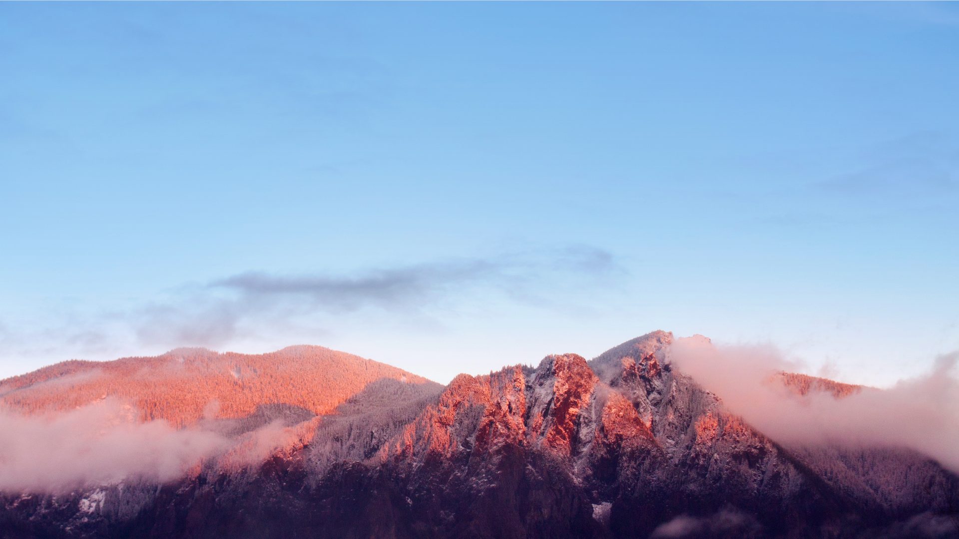
Drive east from Seattle on I-90 for less than 45 minutes, and a steep mountain will suddenly lunge into view on your right — its western face nearly vertical, like a wall shoved up from underground. That's Mount Si, Washington's most-hiked mountain, and a place that holds within it myth, wildfire, geology, and the quiet labor of thousands of volunteers.
🌋This Mountain Came from the Ocean Floor
The rocks of Mount Si date back to the Jurassic and Cretaceous periods — roughly 65 to 150 million years ago. It's not a volcano. It's the remnant of an ancient oceanic plate volcano: when the Pacific Plate subducted beneath North America, this chunk of seafloor was scraped off and slowly pushed upward, eventually settling at the western edge of the Cascades at an elevation of 4,167 feet.[1]
Every rock you step on was once resting on the Pacific seafloor. And the lush forest covering the slopes today is only about eighty years old — a wildfire in 1893 burned through the original old-growth almost entirely.[2]
🌙Where the Moon God Fell
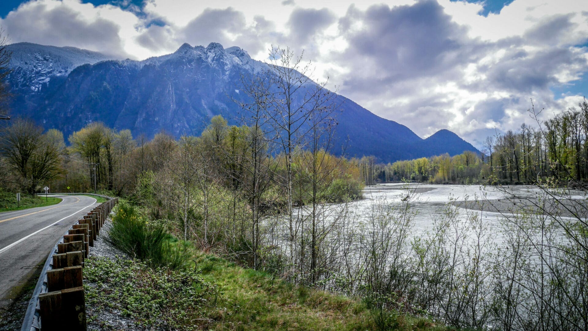
People have lived in this valley for at least nine thousand years. The Snoqualmie people called the mountain q̓əlbc in their Lushootseed language, and held it as sacred ground.[1]
The structure echoes the myth of Prometheus: a trickster steals light from the divine and gives it to humanity. But in the Snoqualmie version, it is the god who pays the price — and that price becomes a mountain.
👴"Uncle Si" and How the Mountain Got Its Name
In 1860, a man named Josiah Merritt built a cabin at the base of the mountain. Neighbors called him "Uncle Si." He grew potatoes, kept hogs, tended an orchard, and devised an extended plow handle so he could ride a horse while directing his oxen — an improvisation made necessary by a foot disability he'd lived with for years.[3]
Merritt died in February 1882, a few days after splitting rails in the cold and coming down with pneumonia. He was buried in the Fall City cemetery. Neighbors began calling the peak "Uncle Si's Mountain," and the name shortened from there. An ordinary man's nickname became one of Washington's most recognizable place names.
🥾The Trail: Built, Loved to Death, and Rebuilt
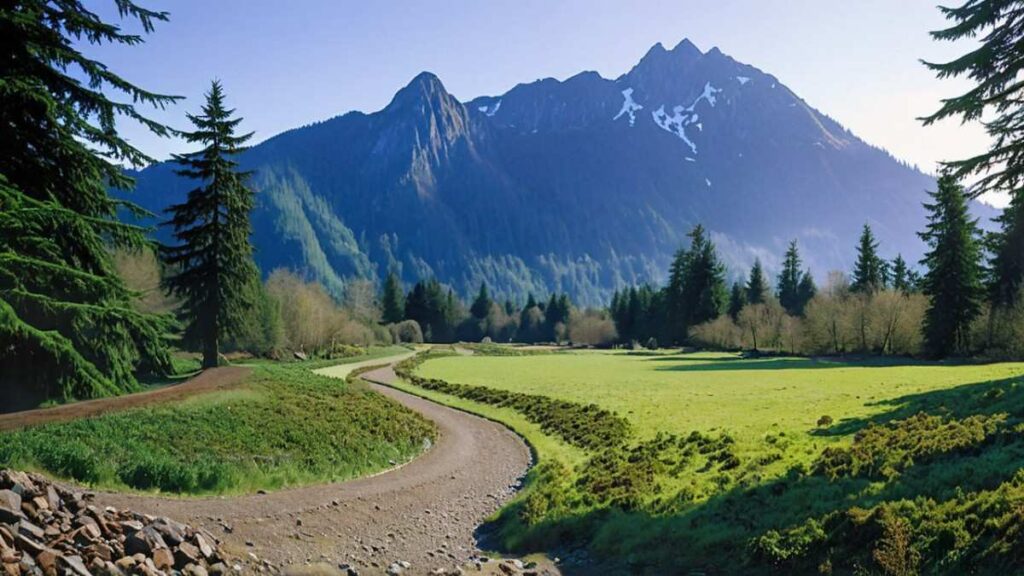
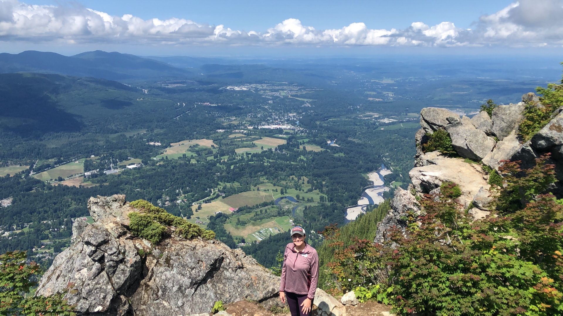
The Mountaineers cut the main trail in 1973.[4] Before that, people had been scrambling up unofficial paths for decades. Once a proper trail existed, use exploded — by 2006, roughly 200,000 people were hiking it each year, the equivalent of three sold-out crowds at Seattle's football stadium.
All those boots took a toll. The tread eroded, switchbacks slumped, exposed roots tripped hikers, drainage failed. In 2003, a three-year rehabilitation project began: more than 8,000 feet of trail re-excavated, 22 switchbacks rebuilt, 280 stone steps installed, 816 feet of rock retaining wall laid. Volunteers contributed over 13,000 hours of labor, keeping the total cost to around $100,000.[4]
In October 2006, the completion ceremony was held on the trail itself, under a canopy of autumn leaves. A group of volunteers cut a pink ribbon with a pair of garden shears. No fanfare — just tired, satisfied faces and a mountain that could breathe again.
🪨Haystack: The Rock at the Top
After reaching the summit ridge, most people stop to rest, eat, and take photos. But some keep going — up onto the massive boulder that rises from the ridge like a fist.
The Haystack is named for its resemblance to a farm haystack. It stands 100 feet above the ridge, and reaching the top requires Class 3 scrambling — hands and feet, no rope, real exposure, and rock that isn't always trustworthy.[5] Most hikers don't attempt it. It sits there anyway, a quiet invitation.
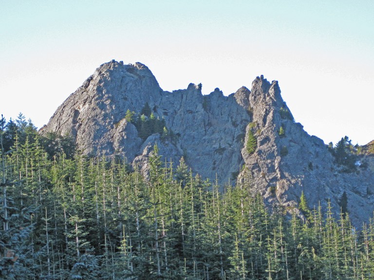
From the town of North Bend or from I-90, Mount Si's summit shows two distinct points against the sky: the main ridge, and the Haystack. That silhouette is what David Lynch saw when he chose this valley as the setting for Twin Peaks in 1990 — the show's name came directly from it.[6]
The Snoqualmie people say the Moon god's face is still visible in the rocks near the summit. Many people who climb the Haystack find themselves searching the stone for a face — and sometimes, at a certain angle, they think they see one. There's no answer to whether that's myth or pattern-recognition. But the searching feels like the point.
🔥Fire, Logging, and the Fight to Protect the Mountain
The forest covering Mount Si's slopes today is only about eighty years old. In late summer 1893, a wildfire swept through the Snoqualmie Valley. The Seattle Post-Intelligencer reported flames leaping across the slopes through the night, with cedar losses alone estimated at 60 million board feet — the whole valley choked in smoke.[2] Decades of logging followed, stripping what the fire had left. The trees you see on the mountain today are the second growth that came after all of that.
Then, in 1976, a quarry company proposed mining the mountain itself. Local residents organized and petitioned the state legislature. In 1977, Washington passed a law creating the Mount Si Conservation Area. It was upgraded to a Natural Resources Conservation Area in 1987, and today covers more than 13,000 acres.[7]
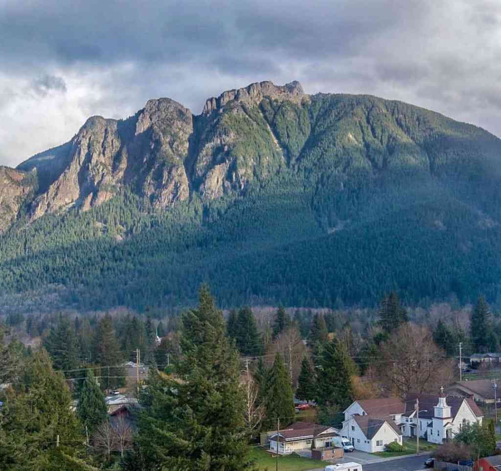
Stand on a street in North Bend and look up. Mount Si's western face rises almost vertically against the sky. Inside that wall of rock: the memory of a seafloor, a moon god's legend, the ash of an 1893 fire, 13,000 hours of volunteer labor, the opening credits of a cult television show, and the footsteps of more than 100,000 people every year.
It's just a mountain. But it's also a container for every one of those stories.
Sources
- Wikipedia: Mount Si — elevation, geology, Lushootseed name, Snoqualmie mythology
- Snoqualmie Valley Museum: From the Collection: 1893 Fires — original newspaper accounts of the 1893 fire
- Snoqualmie Valley Museum: Josiah "Uncle Si" Merritt (2026) — detailed biography of Merritt
- Seattle Times: Rehabilitating Mount Si trail was a labor of love (2006) — trail rehabilitation data and quotes
- The Alpine Guide: Mount Si — Haystack scramble difficulty, annual visitor numbers
- Discover North Bend: Twin Peaks Filming Locations — Twin Peaks filming history
- Washington RCW 79A.05.725 — Mount Si Conservation Area legislation